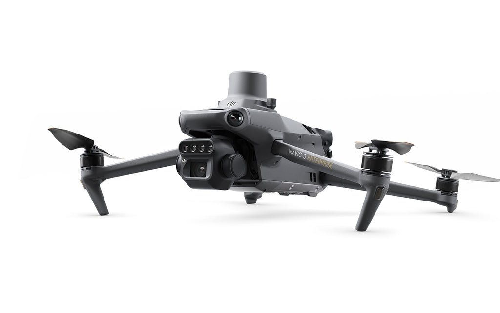
Mavic 3 Multispectral
-
43 min max flight time, RTK positioning, RGB camera, four multispectral bands, and omnidirectional obstacle sensing.
2022
Up to 32 km flight distance
Up to 15 m/s normal mode
0.348 m / 0.284 m / 0.108 m
Electric
Integrated RGB + multispectral sensor payload
Not specified
Autonomous mapping missions with RTK support
Max wind resistance 12 m/s
20 MP RGB camera plus Green, Red, Red Edge, and NIR multispectral cameras
GPS
Vertical takeoff
Vertical landing
No Product in the Cart!